This morning we went back to the Golden Burro for breakfast before heading out on Highway 24 towards I-70 to continue our trip to Grand Junction or actually Fruita where the James M Robb State Park campground sits. As we left Leadville there was a big snow storm heading over the mountain, but luckily we only got a slight snowy mix. It was still petty cool as it got down to 27 degrees last night.
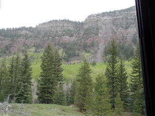
Highway 24 had beautiful scenery with a lot of hairpin turns. We made good progress as we drove along.
The picture below looked like an abandoned village and the houses looked fairly new.
In this area there was a lot of Birch trees with new bright green leaves. It was a stark contrast against the evergreens.
Highway 24 ran alongside the Eagle River, which was beautiful and we saw several people fly fishing.
This house sat alongside the Eagle River. They had some terrific river views from the back of their house.
We went through Minturn, a small town on the river.
The Eagle River.
Once on I-70 we passed Glenwood Springs and the scenery began to change from mountain views to more red rock views. Also the Colorado River joined in and the elevation dropped from 10,000 to 5,500.
Nicholas enjoyed the change in scenery too.
The Colorado River.
We could see a storm brewing as be got closer to Grand Junction.
And of course Finnegan had to have his turn on the dash board.
All 3 boys are enjoying the ride.

We were scheduled to pick up our rental car at the airport in Grand Junction on the way to the CG in Fruita, We got to the airport, but there wasn't clear signage as to where the terminal was or we just did't see it. David headed for the passenger drop off direction, found a good spot to park the MH while I got out to pick up the car. The wind had pick up and was about 50mph. I headed to what looked like the terminal, but as I got closer realized that was not it. I ask a person walking by and he told me it was on the opposite side of the airport from where I was. I spoke with David on the walkie talkie and he said the MH was rocking and rolling in the wind. Well, no joke-I was walking into the wind trying to see where I was going while looking for the terminal. Unfortunately we couldn't park the MH in the regular parking lot, so there I was roaming the airport in gale force winds. I finally got to the terminal, got the car and we thought that was the worse of it. Well, that would be WRONG.
The GPS was programed for the address of the CG and so I followed David in the car since he had the GPS. It sent us down a road off of I-70, making a right turn here, a left turn there through farm lands. paved roads, unpaved roads, and out in the middle of no where for about 10 miles with still no sight of the CG.. Thinking the GPS was taking us on a shorter route, it then became apparent that it was sending us to no man's land. We were on a dirt road and it was telling us to turn where there was no road. Passed a sign that said BLM and then something about a dessert. Boy that just didn't sound right. The next thing we knew we were at a parking area for a trail head. Realizing we were totally lost and no clue as to how to find our way out I used the GPS on my cell phone to navigate us out to the CG. The main GPS had us going in the opposite direction from where we should have been going. Words to the wise. DON'T BLINDLY FOLLOW YOUR GPS.
LOST IN FRUITA
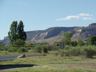
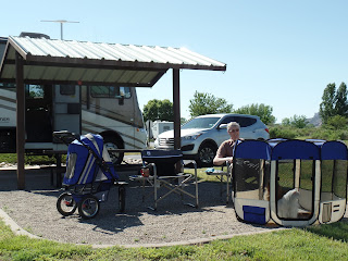
We made it to the CG and what a terrific CG for a state park. It is right next to the Colorado National Monument and it is a very modern, clean CG. I'll take more picture tomorrow but here are a couple taken today. We have great views and can't wait to explore the area.
Where we are now.


